

From Ground to Air: How RAZA Documents Business Projects
Learn how audiovisual production, aerial imagery, and georeferenced data can help businesses document and communicate their projects.
RAZA grew out of experience filming and publishing content online. That experience led naturally to an opportunity: bringing audiovisual production to businesses that need to present their operations, projects, and brands clearly.
Focusing exclusively on business clients was an intentional choice. Each production can be planned around a company’s context, audience, and goals, without combining corporate needs with formats such as weddings, birthday parties, or concerts, which call for a different approach.
One production, different perspectives
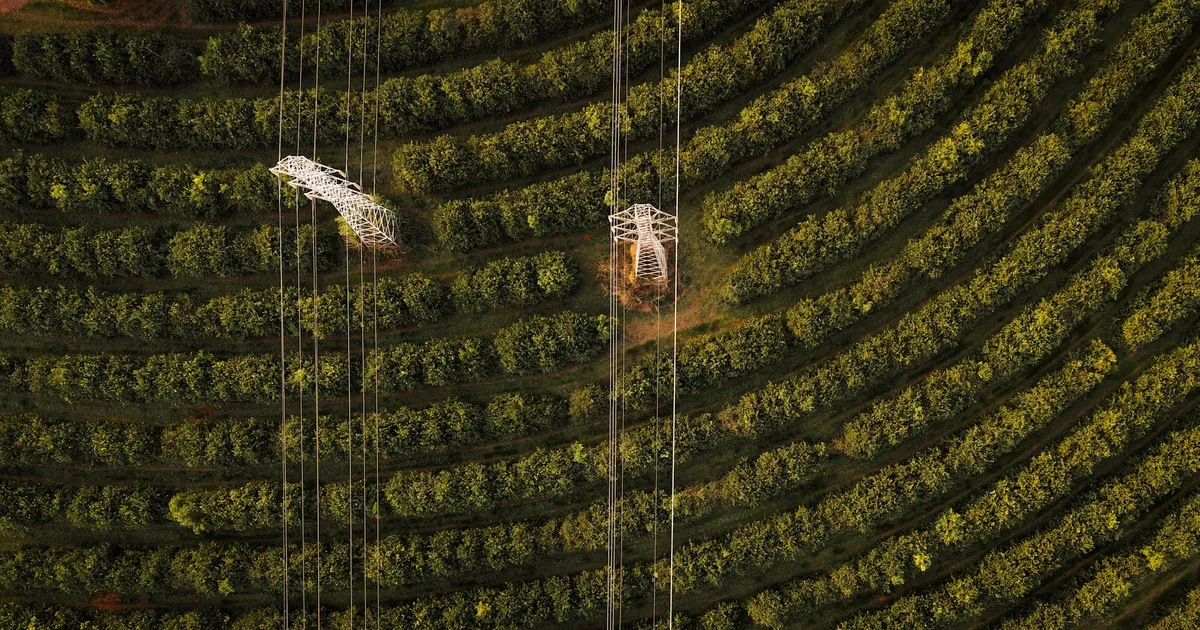
Drones have expanded the possibilities of audiovisual production. A ground-level camera captures people, details, and stages of a process; aerial imagery shows scale, location, and the relationship with the surrounding area. These perspectives can work together in one project, depending on what needs to be documented or communicated.
This combination is especially useful in real estate, construction, and large-scale projects. In addition to aerial images, some projects can include georeferenced data, photogrammetry, and terrain mapping to help visualize elevation and other characteristics of an area.
Information suited to the decision
Not every decision requires a survey with centimeter-level accuracy. In some projects, mapping with accuracy suited to the intended analysis can provide useful information about the land and support decisions about construction or a land purchase, at a more accessible cost.
The deliverable and its level of accuracy depend on the objective, site conditions, and method used. That is why the scope is defined around the intended use. When a decision requires centimeter-level accuracy or a specific technical survey, that requirement needs to be met by an appropriate service.
Visual progress records for construction projects
Records captured throughout a construction project can form a visual history of its stages. Images taken at different times help show how the project develops and document visible conditions during each visit. When a construction site is handed over, aerial images can also be part of the company’s project records.
Depending on the project, delivery can include the original photographs and an organized visual overview. When the files record and preserve metadata such as GPS location and capture time, that information can help establish where and when the images were taken.
This material can support future reference and communication among the parties involved. In situations requiring formal evidence or legal review, the suitability of the records depends on the context, the procedures followed, and relevant professional guidance.
From project records to brand communication
A business that needs to document a construction project may also need to present its work to the market. Alongside progress records, a production can include videos and images for social media, sponsored campaigns, and other communication channels.
Each use has a different purpose. A construction record may prioritize context and documentation; a social media video may introduce a service, highlight the brand, or attract potential customers. Planning for these goals from the start helps create materials suited to each purpose.
A visual approach to business projects
RAZA brings together audiovisual production and drone services because they share the same approach: observing projects carefully, recording what matters, and delivering material suited to its intended use.
Not every business needs aerial imagery, institutional videos, or georeferenced data. The right choice depends on the project. The first step is understanding what needs to be documented or communicated; from there, the most suitable approach can be defined.
Related posts
Corporate Video for Businesses: How RAZA Plans an Audiovisual Production
Learn what to align before producing a company video, from its purpose and formats to the filming plan.
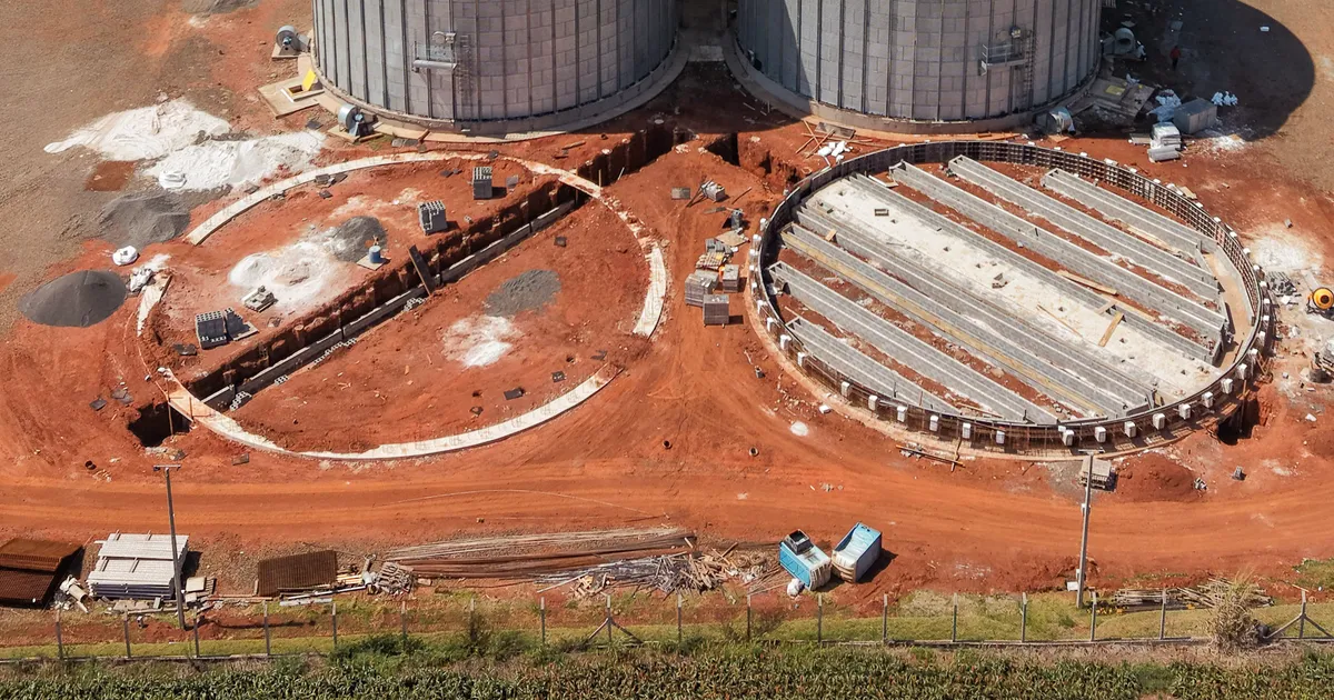
Construction Progress Tracking with Drones: How RAZA Documents Each Project Stage
See how aerial images can document a construction project's progress, show the context of the site, and support project communication.